

Winter Blast
This item is available in full to subscribers.
To continue reading, you will need to either log in to your subscriber account, below, or purchase a new subscription.
Please log in to continue |
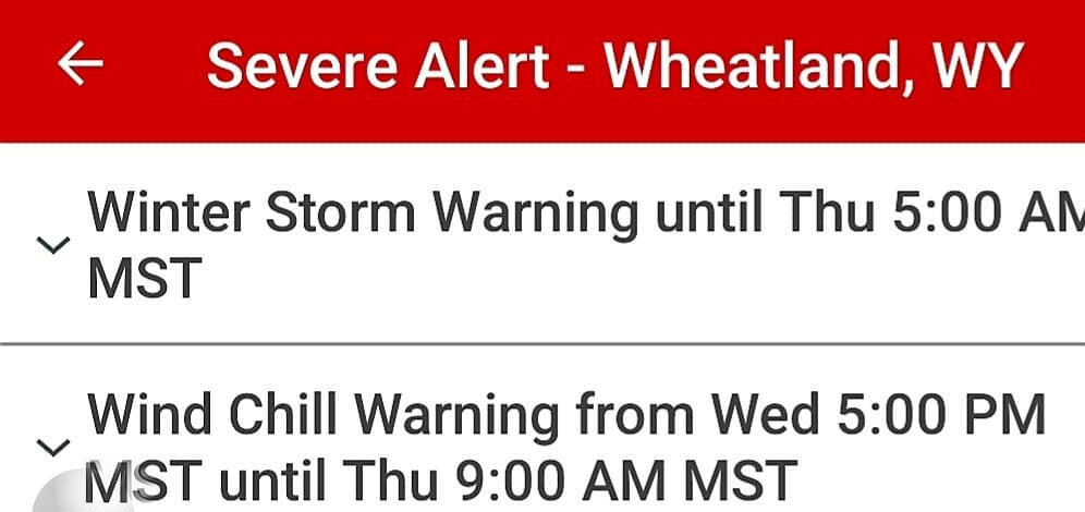
PLATTE COUNTY - According to the National Weather Center in Cheyenne, snow totals were less than expected but brutally cold temperatures will linger through Friday morning.
"The front that we expected in Southeast Wyoming went south into Colorado," said NWS Meterologist Steve Rubin. "Because of that the snow totals are less than we predicted for the region. So far we are recording between 1-4 inches of snow with an additional 1-3 inches that will be falling this morning. Because of the dryer air the snow is light, fluffy and is drifting pretty good out there right now."
As of 4:30 a.m. this morning the I-25 corridor between Cheyenne and Glendo is closed as well as Highway 26 from Dwyer Junction to Ft. Laramie. Roads may be opened later today with the lower snow totals. The danger will be in the drifting snows on the highways. The snow will taper off by early afternoon according to Rubin.
Another danger will be the dangerously low wind chills that will be in the area until Friday morning.
"The temperatures today will most likely not rise much above zero," Rubin said. "Tonight the wind chills could plummet to -30 to -35 in the Wheatland area and as cold as -45 up near Douglas. Tomorrow the temperatures will remain cold as we may reach only between 5 and 10 degraees above zero. After the front passes, temps will rebound nicely by the weekend with mid-30s by Friday, low 40s on Saturday and temps near 50 by Sunday."
For road closures, go to: https://www.wyoroad.info/pls/Browse/WRR.STATIC5?SelectedDistrict=1


