

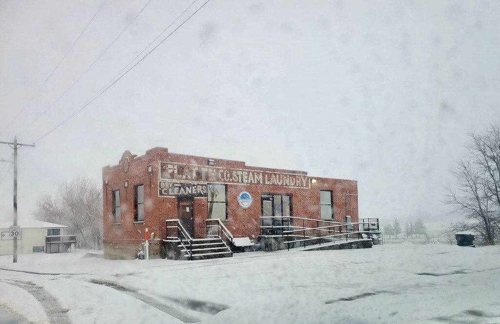
April snows covering Platte County.
This item is available in full to subscribers.
To continue reading, you will need to either log in to your subscriber account, below, or purchase a new subscription.
Please log in to continue |
WHEATLAND – By the time the paper goes to press and is published, the majority of Platte County will be engulfed in a major winter storm.
According to Mike Charnick of the National Weather Service in Cheyenne, the low pressure system that is coming through southeastern Wyoming and northern Colorado has the potential to drop between 20 – 25” of snow between Monday and Tuesday.
“When you wake up on Tuesday morning, you will be covered and you are definitely in for a good one in Platte County,” Charnick said. “On Monday there will be a cold front that will come through that will be accompanied by a lot of moisture piling up against the Laramie Range.”
Charnick said that by Tuesday night it will be pretty much done as far as snowfall, but winds will be gusting between 30-35 mph and there will be a lot of blowing and drifting, possibly shutting down main roads and certainly secondary roads.
“It has the possibility of snowing at a rate of 2” per hour,” he said. “On Tuesday the high temps will only be in the mid-20s and when you wake up on Wednesday morning the temperature will be around 10 degrees.”
Look for a little warmup on Thursday with temps rising into the 30s and then the temps on Friday – Sunday will climb to the mid-40s and low-50s.
With the current snowfall expected, it could turn out to be the snowiest winter on record and the prediction for glacial snow would be complete. The silver lining is that Wyoming is now in the month of April and perhaps this may be the last major dumping upon the county.


